API
Apps that offer healthier and eco-friendly travel and lifestyle options are on the rise, because of increasing environmental health risks, inequalities and public concern.
But data on environmental quality is complex to understand, difficult to find and not standardised.
The TranquilCityData API gives easy access to our expert-created, hyper-local and actionable data on environmental quality so that app developers can focus on offering healthier and greener options to your users. We believe that providing easy access to such data can enable developers and technologists to experiment and create unique solutions that solve the urban challenges we all face.

Documentation & T&Cs
Check out our TranquilCityData API documentation.
All use of the Tranquil City’s API products shall adhere to our API License Agreement, End User Licence Agreement and Terms & Conditions.
Our freemium subscription model allows you to experiment, implement and grow your apps and solutions. Available on RapidAPI
Mobility
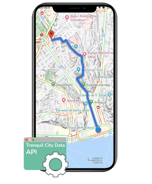
Our API can be used to creating routing profiles that prioritise green, quiet, less polluted and healthier journeys.
-
Encourage Active Mobility
-
Increase the appeal of walking/cycling
-
Discover less polluted routes
-
Discover greener routes
-
Reduce car use through sustained positive behaviour change.

Places
Our API can be used to better understand a location’s environmental quality easily. It can be used to assess a specific property’s exposure to noise and pollution, the amount of nearby green and natural spaces, it’s potential for tranquillity and how the surrounding street environments perform against Healthy Streets Indicators.
-
Proptech
-
Site acquisition
-
Sales & Rental market
-
-
Eco-tourism
-
Celebrate the green city
-
Promote wellbeing
-

Fitness
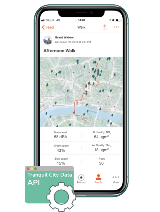
Promote fitness and wellbeing activities in healthier places by using our API to access a wealth of hyper-local information on environmental quality, including our specialist indices.
-
-
Track exposure to nature and other positive elements that promote wellbeing
-
Track and reduce exposure to pollution
-
Gamify health & wellbeing by helping people better understand their environmental quality
-

Currently available datasets
Tranquil Package
The Tranquil City Index rates a location’s potential to be good for human wellbeing on a scale of 0-1, where 0 has low potential and 1 has the most potential. It balances environmental quality aspects that affect health, such as noise and air quality, with the presence of good quality green and blue infrastructure that can provide restorative environments. The index is developed in partnership with the Environmental Psychologist Dr Eleanor Ratcliffe of the University of Surrey.
The index is currently available in our ‘Grid’ and ‘Streets’ formats via our API. It’s ideal for promoting the greenest, quietest and most restorative places and routes for people to escape urban life or to socialise with their loved ones.
Environmental Package
The ‘Environmental’ package provides information on both air quality and noise. The measures have been designed to provide a useful overview of the typical exposure to pollutants at a hyper-local scale and are based on industry-standard robust annual average modelling results from a variety of sources.
The index is currently available in our ‘Grid’ and ‘Streets’ formats via our API. It’s ideal for creating interventions that prioritise the reduction in harmful pollutants for users or assessing the environmental quality surrounding a property.
Green Infrastructure Package
The ‘Green Infrastructure’ package provides information on the presence of more natural green and blue elements in the landscape, such as green spaces, forestry, tree canopy cover, lakes, canals and reservoirs. It provides easy-to-use information on the quantity of land cover for each data point allowing the prioritising of greener spaces and routes, as well as the identification of areas in greater need of green infrastructure improvements.
The index is currently available in our ‘Grid’ and ‘Streets’ formats via our API. It’s ideal for integration into urban planning Software as a Services (SaaS) platforms as well as for apps that promote contact with nature and wildlife.
Healthy Streets Index
The Healthy Streets Index gives a rating between 0-1 for every street using a composite of key city-wide data sets that each describes a critical element of Healthy Streets. A street with a rating of 0 is less likely to include healthy streets compliant elements whereas a street with a rating of 1 is the most likely. The Index is composed of the factors we know to have the biggest impacts on both human health and people’s experience of walking, cycling and being on streets and is the first of its kind. It has been created in partnership with Lucy Saunders of Healthy Streets Ltd, as well as researchers at the Bartlett School of Architecture, University College London.
The index is coming soon to our API and will be available in our ‘streets’ format. It’s perfect for calculating and rating routes that prioritise pleasant and healthy walking environments that reduces the barriers to active travel.
Data formats
The API provides our datasets in either the ‘grid’ or ‘streets’ formats that have been designed to allow experimentation.
Grid
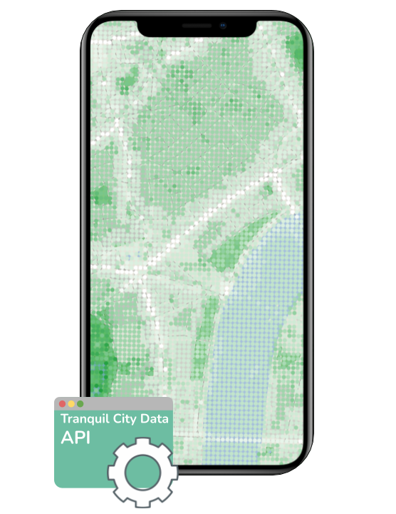
The ‘grid’ format provides a unique data point every 20m2 to enable hyper-local information recall.
Streets
The ‘streets’ format provides a value for each OpenStreetMap road segment to enable route comparison and calculation.
